
Angels Wing Hiking Trail
Clarens
 " alt="Loading..." title="Loading" />
About Angels Wing Hiking Trail
The Angel's Wing Hiking Trail bordering Golden Gate Highlands National Park is a spectacular privately run trail for hikers wanting a little creature comfort in the Clarens area.
Two-day hiking options with a total hiking distance of 20 km leave from the cosy base camp called Ouma’s Kraal. The trail follows the old paths of eland herds, through indigenous forest and awesome sandstone gorges areas with tinkling waterfalls and crystal clear pools, perfect for a swim.
Difficulty: Moderate
Distance: 20 km
Telephone:
073 279 9542 summithiking@gmail.com
Things to do in Clarens
Angels Wing Hiking Trail Map
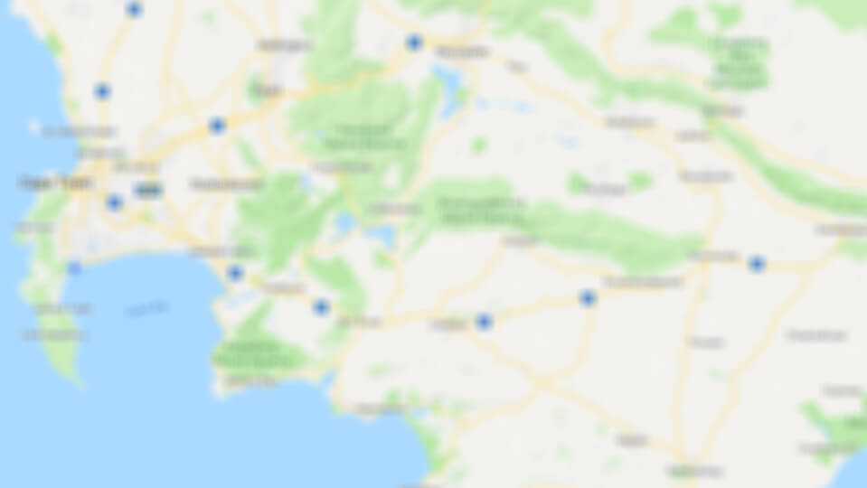
Click to display the map
Angels Wing Hiking Trail is 13.1km from the centre of Clarens
, the nearest airport 152.6km (Moshoeshoe I International Airport).
*Distances are shown as the crow flies and not necessarily the actual travelling
*Distances are shown as the crow flies and not necessarily the actual travelling
Other things to do near Clarens
Clarens Wellness Spa offers a variety of treatments including facial therapy, body and massage...
Didibeng Mountain Park has one main circular 4x4 trail which has many routes branching off towards...
See all things to do near Clarens